 BGS Data Catalogue
University of Bristol
Type of resources
Topics
Keywords
Contact for the resource
Provided by
Years
Formats
Representation types
Update frequencies
-

The data are magnesium (Mg) isotope composition, i.e. the relative difference of isotope ratios as defined in Coplen (2011, doi: 10.1002/rcm.5129). The reference was DSM-3 (see Galy et al., 2003, doi: 10.1039/b309273a) and data are given in per mil. Samples consisted of terrestrial peridotites and basalts as well as a suite of meteorites including chondrites, shergottites, diogenites and one angrite. A large portion of the data have been published in Hin et al. (2017, doi: 10.1038/nature23899).
-
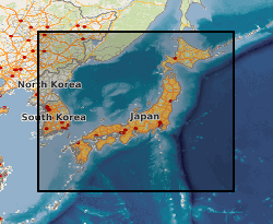
This MS Excel dataset contains tephra depth and age data from ocean drilling expeditions around Japan. IODP, ODP and DSDP shipboard core description records were examined for mentions of volcanic ash, tephra etc., according to criteria described in Mahony et al. 2014. Data are from shipboard visual core descriptions of ocean drilling expeditions located within a few hundred km of Japan. Cores without published age-depth data are not included in this dataset. The expeditions occurred between 1973 (DSDP 31) to 2013 (IODP 346). Tephra layers are dated as being deposited between 0.003-18.5 Ma. This data will be of interest to volcanologists or anyone interested in the location of volcanic ash layers within IODP cores.
-

A set of climatological annual and monthly sea surface temperature and 1.5m air temperature for the Eocene Epoch as run in HadCM3L. The data also relates to NERC Grant NE/I006281/1
-
In this project we developed a new geobarometer for mafic and ultramafic igneous rocks, which can be used by the scientific community for a wide range of mineralogical and petrological studies. The material here include the description of the geobarometer, guidelines for its use, software and chemical data acquired for some case studies.
-
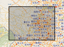
Hazards data in Sichuan (Dechang, Anning River catchment), China. Data include rainfall, earthquake, river catchment, boundary, geological map, soil map, land-cover map, road-map, DEM.
-
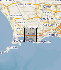
The data set contains location (latitude and longitude), ellipsoidal height (m) and observed gravity of benchmarks at the Campi Flegrei caldera, Italy. The gravity and location data were collected between 8 and 12 July, 2015 using a Scintrex CG5 gravimeter (serial number: 572) in tandem with a TOPCON HiPer Pro Dual-Frequency GNSS base and rover system. The survey contained a total of 85 benchmarks in addition to the base station.
-
This data set contains 119 unwrapped and geocoded inteferograms derived from Cosmo-SkyMed (CSK) SAR scenes aquired over the Northen Main Ethiopian Rift between June 2014 and December 2015. This data set also contains displacement time series derived from processed CSK and Sentinel-1 inteferograms at the locations specified in the accompanying README files
-
The RiftVolc microgravity network was comprised of a total of 4 benchmarks including a reference benchmark. Benchmark locations, observed gravity changes, dg14 -16, from 2014-2016, corresponding vertical deformation, Uz, free-air effect, and resultant residual gravity changes gr of the microgravity and GNSS network at Corbetti.
-
The files contain backscattered (BSE) SEM images and photomicrographs of studied samples form Vanua Lava, Vanuatu (New Hebrides). The samples are mantle xenolith found in situ in lava boulders.
-

Supporting data from paper: Hill et al. 2019 Evolution of jaw disparity in fishes. Palaeontology 61: 847-854. The data consists of two files: (1) an Excel spreadsheet listing the taxa used in the study, specimen number, clade, age; (2) a Word document outlining the data collection and analysis procedure used in the study.